Archaeological excavation at the Tortie Stone
Introduction
The photograph on this page of Archaeological excavation at the Tortie Stone by Andrew Curtis as part of the Geograph project.
The Geograph project started in 2005 with the aim of publishing, organising and preserving representative images for every square kilometre of Great Britain, Ireland and the Isle of Man.

There are currently over 7.5m images from over 14,400 individuals and you can help contribute to the project by visiting https://www.geograph.org.uk
Archaeological excavation at the Tortie Stone
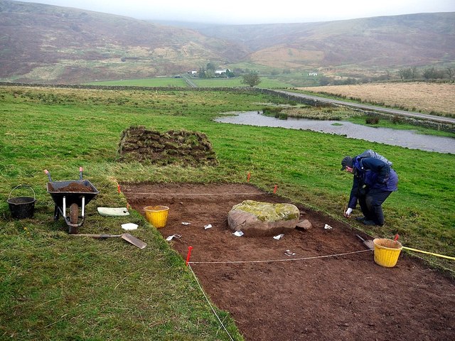
Image: © Andrew Curtis Taken: 29 Oct 2011
Rock art specialist examines finds around an large boulder in second trench below location of the Tortie Stone.
Images are licensed for reuse under creativecommons.org/licenses/by-sa/2.0
Image Location
Latitude
54.913296
Longitude
-2.642168