Pasture, Raith Interchange
Introduction
The photograph on this page of Pasture, Raith Interchange by Richard Webb as part of the Geograph project.
The Geograph project started in 2005 with the aim of publishing, organising and preserving representative images for every square kilometre of Great Britain, Ireland and the Isle of Man.

There are currently over 7.5m images from over 14,400 individuals and you can help contribute to the project by visiting https://www.geograph.org.uk
Pasture, Raith Interchange
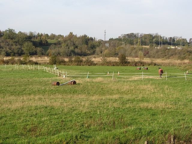
Image: © Richard Webb Taken: 24 Oct 2011
Grassland and marsh beside the A725 and M74. There are ecological surveys on the web, suggesting that the very busy motorway junction may be due an upgrade.
Images are licensed for reuse under creativecommons.org/licenses/by-sa/2.0
Image Location
Latitude
55.801361
Longitude
-4.058068