The Island, Lisburn
Introduction
The photograph on this page of The Island, Lisburn by Albert Bridge as part of the Geograph project.
The Geograph project started in 2005 with the aim of publishing, organising and preserving representative images for every square kilometre of Great Britain, Ireland and the Isle of Man.

There are currently over 7.5m images from over 14,400 individuals and you can help contribute to the project by visiting https://www.geograph.org.uk
The Island, Lisburn
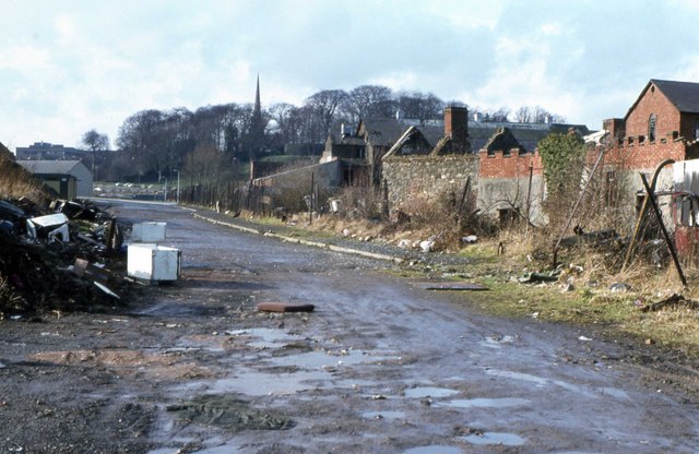
Image: © Albert Bridge Taken: 6 Feb 1982
The Island came into existence as a result of the building of the Lagan Navigation. An island was built to allow the canal to bypass the River Lagan. Initially there was a factory making vitriol for use in bleaching linen. A spinning mill was established in 1867 which continued in production until 1983. When this photograph was taken, in 1982, the site was mainly derelict. It was eventually acquired by Lisburn Council for re-development as a civic and arts centre. For the view of the re-developed site (looking in the opposite direction) see Image
Images are licensed for reuse under creativecommons.org/licenses/by-sa/2.0
Image Location


Leaflet Map data © OpenStreetMap
Latitude
54.512859
Longitude
-6.032099