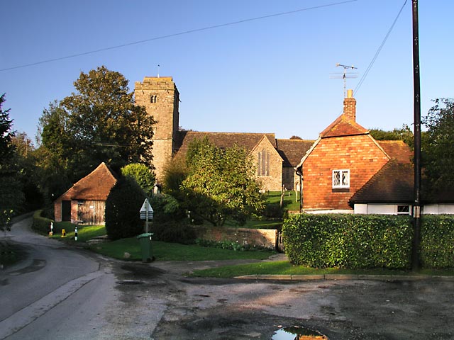
St Mary's Church and Church House
Introduction
The photograph on this page of St Mary's Church and Church House by Andy Potter as part of the Geograph project.
The Geograph project started in 2005 with the aim of publishing, organising and preserving representative images for every square kilometre of Great Britain, Ireland and the Isle of Man.
There are currently over 7.5m images from over 14,400 individuals and you can help contribute to the project by visiting https://www.geograph.org.uk

Image: © Andy Potter Taken: 24 Oct 2006
Seen from the parking area by the village notice board outside Cumberland House. Image is to the right with Cray's Lane to the left. The path to the church runs to the right of the garage-like building (whose construction probably pre-dates the invention of the automobile) and passes though gates with an unusual wooden kissing gate (which I neglected to photograph!) The church hall is just on the opposite side of Cray's Lane to the church "garage".

