Approach to Marsh Leys Junction
Introduction
The photograph on this page of Approach to Marsh Leys Junction by Mr Ignavy as part of the Geograph project.
The Geograph project started in 2005 with the aim of publishing, organising and preserving representative images for every square kilometre of Great Britain, Ireland and the Isle of Man.

There are currently over 7.5m images from over 14,400 individuals and you can help contribute to the project by visiting https://www.geograph.org.uk
Approach to Marsh Leys Junction
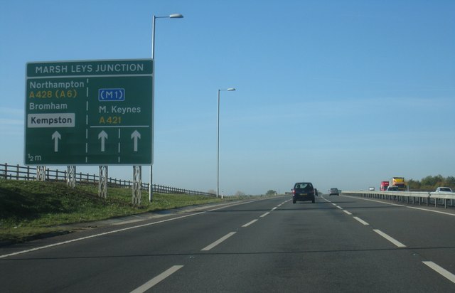
Image: © Mr Ignavy Taken: 28 Oct 2011
This new stretch of the A421 was opened in December 2010. It certainly helps east/west travel in this part of England but there are still bottle necks which can be quite frustrating given the volume of heavy freight traffic which eventually makes its way to Felixstowe.
Images are licensed for reuse under creativecommons.org/licenses/by-sa/2.0
Image Location
Latitude
52.105134
Longitude
-0.493742