Multiple bridge (A 421)
Introduction
The photograph on this page of Multiple bridge (A 421) by Mr Ignavy as part of the Geograph project.
The Geograph project started in 2005 with the aim of publishing, organising and preserving representative images for every square kilometre of Great Britain, Ireland and the Isle of Man.

There are currently over 7.5m images from over 14,400 individuals and you can help contribute to the project by visiting https://www.geograph.org.uk
Multiple bridge (A 421)
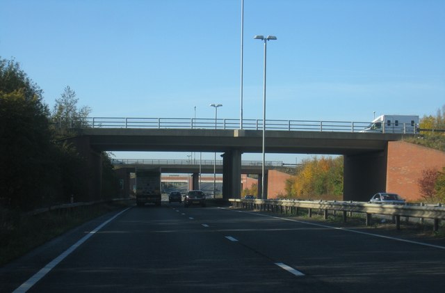
Image: © Mr Ignavy Taken: 28 Oct 2011
Southern Bedford Bypass and A6 interchange. The third bridge visible is the railway line to London.
Images are licensed for reuse under creativecommons.org/licenses/by-sa/2.0
Image Location
Latitude
52.107172
Longitude
-0.477465