The south end of Stoney Street
Introduction
The photograph on this page of The south end of Stoney Street by David Lally as part of the Geograph project.
The Geograph project started in 2005 with the aim of publishing, organising and preserving representative images for every square kilometre of Great Britain, Ireland and the Isle of Man.

There are currently over 7.5m images from over 14,400 individuals and you can help contribute to the project by visiting https://www.geograph.org.uk
The south end of Stoney Street
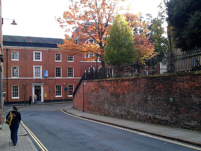
Image: © David Lally Taken: 29 Oct 2011
With the last few buildings on High Pavement at the end and the corner of St Mary's churchyard on the right.
Images are licensed for reuse under creativecommons.org/licenses/by-sa/2.0
Image Location
Latitude
52.951035
Longitude
-1.142374