Priory Lane, Bridport
Introduction
The photograph on this page of Priory Lane, Bridport by John Stephen as part of the Geograph project.
The Geograph project started in 2005 with the aim of publishing, organising and preserving representative images for every square kilometre of Great Britain, Ireland and the Isle of Man.

There are currently over 7.5m images from over 14,400 individuals and you can help contribute to the project by visiting https://www.geograph.org.uk
Priory Lane, Bridport
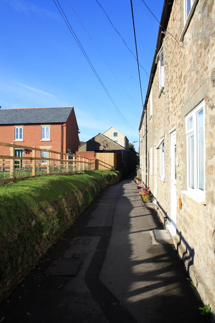
Image: © John Stephen Taken: 28 Oct 2011
Looking North towards town with newly finished Priory Gardens development on left and Evangelical Chapel centre.
Images are licensed for reuse under creativecommons.org/licenses/by-sa/2.0
Image Location
Latitude
50.730534
Longitude
-2.760395