River Brit and new Priory Gardens housing
Introduction
The photograph on this page of River Brit and new Priory Gardens housing by John Stephen as part of the Geograph project.
The Geograph project started in 2005 with the aim of publishing, organising and preserving representative images for every square kilometre of Great Britain, Ireland and the Isle of Man.

There are currently over 7.5m images from over 14,400 individuals and you can help contribute to the project by visiting https://www.geograph.org.uk
River Brit and new Priory Gardens housing
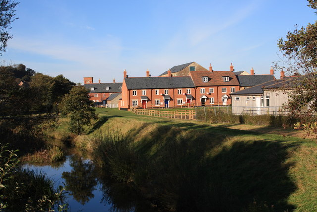
Image: © John Stephen Taken: 28 Oct 2011
River Brit view from the St Mary's playing field bridge. Priory Gardens housing development finished Nov 2011. Large building behind is old Priory Mills, converted to flats, and left of centre St Michael's Trading Estate tower. Extreme right are the Bowling Club buildings.See also Image
Images are licensed for reuse under creativecommons.org/licenses/by-sa/2.0
Image Location
Latitude
50.731156
Longitude
-2.761538