Portland Street, SE17
Introduction
The photograph on this page of Portland Street, SE17 by Derek Harper as part of the Geograph project.
The Geograph project started in 2005 with the aim of publishing, organising and preserving representative images for every square kilometre of Great Britain, Ireland and the Isle of Man.

There are currently over 7.5m images from over 14,400 individuals and you can help contribute to the project by visiting https://www.geograph.org.uk
Portland Street, SE17
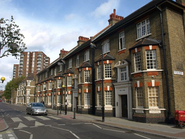
Image: © Derek Harper Taken: 17 Oct 2011
From the junction with Liverpool Grove (left) and Burton Grove. These old purpose-built flats contrast with the modern tower blocks up the road, Studland and Lulworth.
Images are licensed for reuse under creativecommons.org/licenses/by-sa/2.0
Image Location
Latitude
51.487009
Longitude
-0.090159