Where's the canal bank?
Introduction
The photograph on this page of Where's the canal bank? by Christine Johnstone as part of the Geograph project.
The Geograph project started in 2005 with the aim of publishing, organising and preserving representative images for every square kilometre of Great Britain, Ireland and the Isle of Man.

There are currently over 7.5m images from over 14,400 individuals and you can help contribute to the project by visiting https://www.geograph.org.uk
Where's the canal bank?
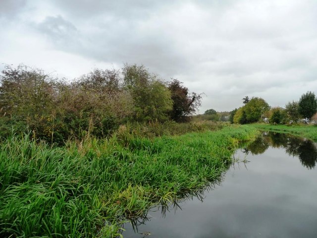
Image: © Christine Johnstone Taken: 12 Oct 2011
The Chesterfield canal's towpath edge is softened by a mass of plants.
Images are licensed for reuse under creativecommons.org/licenses/by-sa/2.0
Image Location
Latitude
53.30263
Longitude
-1.095867