The former Catholic Primary School in Rathfriland
Introduction
The photograph on this page of The former Catholic Primary School in Rathfriland by Eric Jones as part of the Geograph project.
The Geograph project started in 2005 with the aim of publishing, organising and preserving representative images for every square kilometre of Great Britain, Ireland and the Isle of Man.

There are currently over 7.5m images from over 14,400 individuals and you can help contribute to the project by visiting https://www.geograph.org.uk
The former Catholic Primary School in Rathfriland
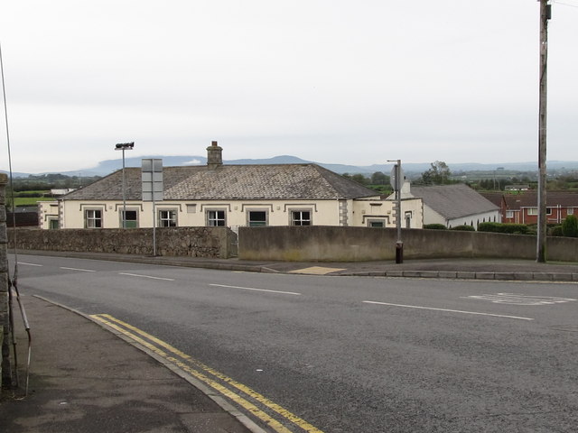
Image: © Eric Jones Taken: 20 Oct 2011
Having been replaced by a new school, this building was converted in 1996 into a parish centre for the members of St Mary's R.C. Church which stands opposite. The centre backs on to the Second Presbyterian Church.
Images are licensed for reuse under creativecommons.org/licenses/by-sa/2.0
Image Location
Latitude
54.237022
Longitude
-6.169345