The former Rathfriland National School
Introduction
The photograph on this page of The former Rathfriland National School by Eric Jones as part of the Geograph project.
The Geograph project started in 2005 with the aim of publishing, organising and preserving representative images for every square kilometre of Great Britain, Ireland and the Isle of Man.

There are currently over 7.5m images from over 14,400 individuals and you can help contribute to the project by visiting https://www.geograph.org.uk
The former Rathfriland National School
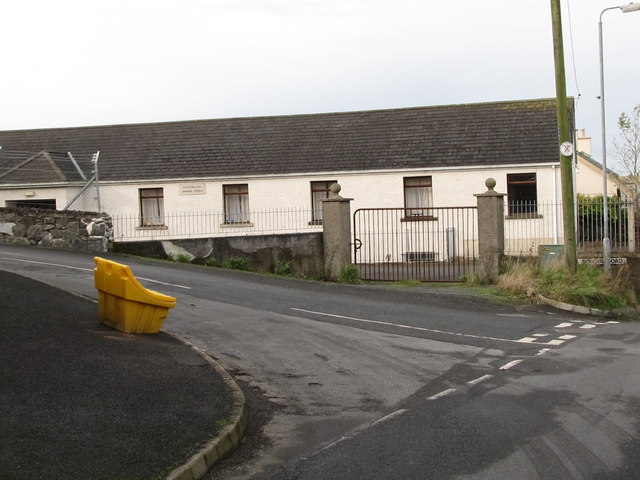
Image: © Eric Jones Taken: 20 Oct 2011
This is located at the junction of Back Road and School Road. This building has been converted into a dwelling.
Images are licensed for reuse under creativecommons.org/licenses/by-sa/2.0
Image Location
Latitude
54.239476
Longitude
-6.165248