Thames Path at Gallions Reach
Introduction
The photograph on this page of Thames Path at Gallions Reach by Malc McDonald as part of the Geograph project.
The Geograph project started in 2005 with the aim of publishing, organising and preserving representative images for every square kilometre of Great Britain, Ireland and the Isle of Man.

There are currently over 7.5m images from over 14,400 individuals and you can help contribute to the project by visiting https://www.geograph.org.uk
Thames Path at Gallions Reach
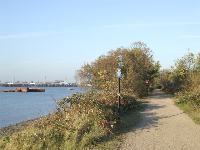
Image: © Malc McDonald Taken: 22 Oct 2011
This section of the Thames Path, at Gallions Reach, is a shared path for pedestrians and cyclists. It forms part of Sustrans' National Cycle Network Route 1, which links Dover with Shetland generally following the east coast of England and Scotland.
Images are licensed for reuse under creativecommons.org/licenses/by-sa/2.0
Image Location
Latitude
51.502445
Longitude
0.085842