Pastureland east of the B7 (Drumlough Road)
Introduction
The photograph on this page of Pastureland east of the B7 (Drumlough Road) by Eric Jones as part of the Geograph project.
The Geograph project started in 2005 with the aim of publishing, organising and preserving representative images for every square kilometre of Great Britain, Ireland and the Isle of Man.

There are currently over 7.5m images from over 14,400 individuals and you can help contribute to the project by visiting https://www.geograph.org.uk
Pastureland east of the B7 (Drumlough Road)
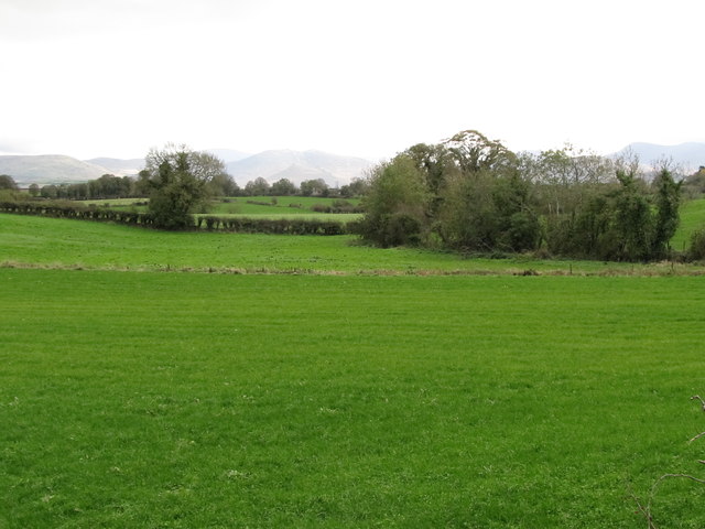
Image: © Eric Jones Taken: 27 Oct 2011
The farming economy around Rathfriland is predominantly pastoral. The Mournes form the background.
Images are licensed for reuse under creativecommons.org/licenses/by-sa/2.0
Image Location
Latitude
54.230813
Longitude
-6.1687