New Road
Introduction
The photograph on this page of New Road by Simon Carey as part of the Geograph project.
The Geograph project started in 2005 with the aim of publishing, organising and preserving representative images for every square kilometre of Great Britain, Ireland and the Isle of Man.

There are currently over 7.5m images from over 14,400 individuals and you can help contribute to the project by visiting https://www.geograph.org.uk
New Road
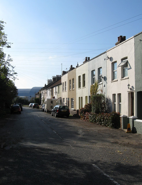
Image: © Simon Carey Taken: 22 Oct 2011
The middle set of cottages were built during the late 1890s and the other set at either end were completed by 1910. Up until the early 1980s this was the northern end of New Road which joined Avis Road at this point, however, it was closed off at the western end and a new wider road built to the rear of the cottages which is now the course of the A26.
Images are licensed for reuse under creativecommons.org/licenses/by-sa/2.0
Image Location


Leaflet Map data © OpenStreetMap
Latitude
50.803357
Longitude
0.052707