Watermeadows , Avon farm
Introduction
The photograph on this page of Watermeadows , Avon farm by Nigel Mykura as part of the Geograph project.
The Geograph project started in 2005 with the aim of publishing, organising and preserving representative images for every square kilometre of Great Britain, Ireland and the Isle of Man.

There are currently over 7.5m images from over 14,400 individuals and you can help contribute to the project by visiting https://www.geograph.org.uk
Watermeadows , Avon farm
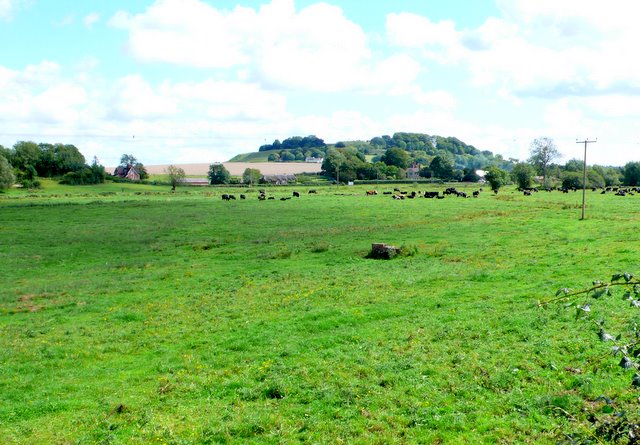
Image: © Nigel Mykura Taken: 24 Aug 2011
The old water meadows had an intricate irrigation system which was used 200 years ago to ensure fresh grass in the pastures during freezing winters. Now all that remains is a few vaguely discernible ditches and one or two pieces of brickwork which were small bridges and sluice gates on the water channels. In the background is Old Sarum.
Images are licensed for reuse under creativecommons.org/licenses/by-sa/2.0
Image Location
Latitude
51.098147
Longitude
-1.82001