A283 at Fisherstreet
Introduction
The photograph on this page of A283 at Fisherstreet by Robin Webster as part of the Geograph project.
The Geograph project started in 2005 with the aim of publishing, organising and preserving representative images for every square kilometre of Great Britain, Ireland and the Isle of Man.

There are currently over 7.5m images from over 14,400 individuals and you can help contribute to the project by visiting https://www.geograph.org.uk
A283 at Fisherstreet
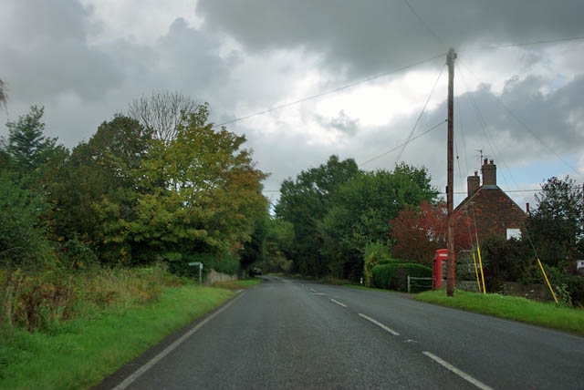
Image: © Robin Webster Taken: 25 Oct 2011
A settlement with the luxury of a red phone box. Whether it works or not is another matter.
Images are licensed for reuse under creativecommons.org/licenses/by-sa/2.0
Image Location
Latitude
51.074167
Longitude
-0.64565