Bardon Mill
Introduction
The photograph on this page of Bardon Mill by Oliver Dixon as part of the Geograph project.
The Geograph project started in 2005 with the aim of publishing, organising and preserving representative images for every square kilometre of Great Britain, Ireland and the Isle of Man.

There are currently over 7.5m images from over 14,400 individuals and you can help contribute to the project by visiting https://www.geograph.org.uk
Bardon Mill
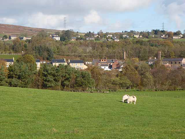
Image: © Oliver Dixon Taken: 26 Oct 2011
The village of Bardon Mill seen from the south side of the South Tyne. The two chimneys are part of the Errington Reay pottery, established in 1878 in the once water-powered woollen mill, which operated on the site from the late seventeenth century. The cluster of houses at the top of the bank is West End Town Image
Images are licensed for reuse under creativecommons.org/licenses/by-sa/2.0
Image Location
Latitude
54.975695
Longitude
-2.346796