Broadwater, Thamesmead
Introduction
The photograph on this page of Broadwater, Thamesmead by Malc McDonald as part of the Geograph project.
The Geograph project started in 2005 with the aim of publishing, organising and preserving representative images for every square kilometre of Great Britain, Ireland and the Isle of Man.

There are currently over 7.5m images from over 14,400 individuals and you can help contribute to the project by visiting https://www.geograph.org.uk
Broadwater, Thamesmead
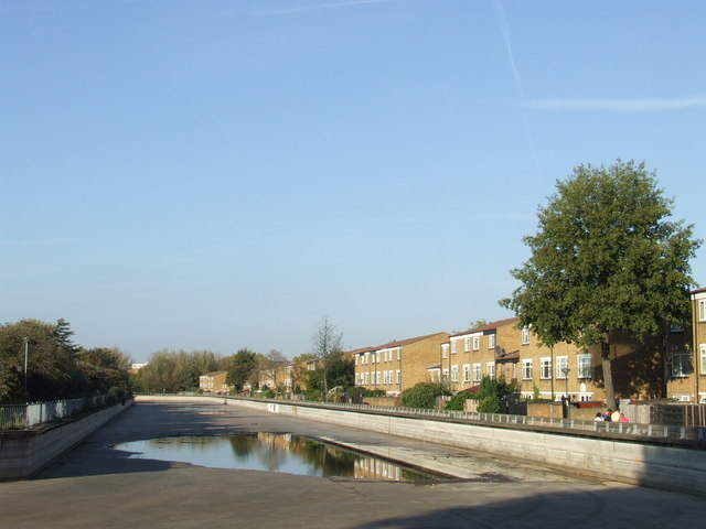
Image: © Malc McDonald Taken: 22 Oct 2011
According to the Trust Thamesmead website, Broadwater Dock was originally part of the Ordnance Canal and Lock which was built by Napoleonic prisoners of war so that barges could load and unload the munitions alongside the factory buildings and not go through populated areas: http://www.trust-thamesmead.co.uk/ The dock is now drained, but a man died here in 2007 while saving the life of a boy who was drowning.
Images are licensed for reuse under creativecommons.org/licenses/by-sa/2.0
Image Location
Latitude
51.494404
Longitude
0.082882