Entrance to Mutton's Farm
Introduction
The photograph on this page of Entrance to Mutton's Farm by Andy Potter as part of the Geograph project.
The Geograph project started in 2005 with the aim of publishing, organising and preserving representative images for every square kilometre of Great Britain, Ireland and the Isle of Man.

There are currently over 7.5m images from over 14,400 individuals and you can help contribute to the project by visiting https://www.geograph.org.uk
Entrance to Mutton's Farm
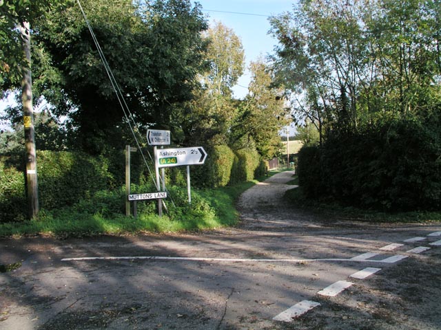
Image: © Andy Potter Taken: 24 Oct 2006
Seen from the junction of Rock Lane and Mutton's Lane. Footpath 2622 follows the road through the farm before zig-zagging across the fields to the old Worthing Road.
Images are licensed for reuse under creativecommons.org/licenses/by-sa/2.0
Image Location


Leaflet Map data © OpenStreetMap
Latitude
50.92274
Longitude
-0.411019