A38 bridge (with local tribal art)
Introduction
The photograph on this page of A38 bridge (with local tribal art) by Antony Dixon as part of the Geograph project.
The Geograph project started in 2005 with the aim of publishing, organising and preserving representative images for every square kilometre of Great Britain, Ireland and the Isle of Man.

There are currently over 7.5m images from over 14,400 individuals and you can help contribute to the project by visiting https://www.geograph.org.uk
A38 bridge (with local tribal art)
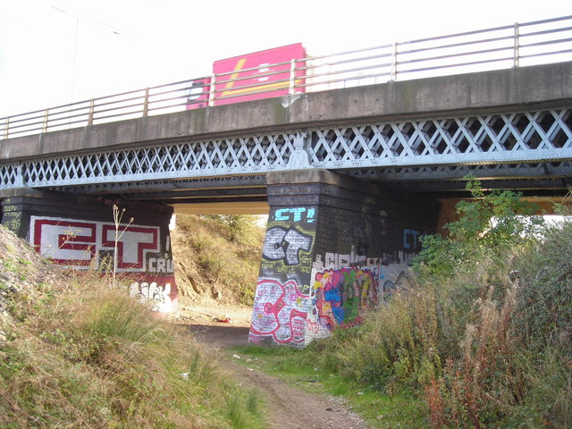
Image: © Antony Dixon Taken: 26 Oct 2011
This bridge carries the A38 road over an old railway cutting, which now serves as an unofficial bridle path leading to Castlewood Business Park. (See also Image)
Images are licensed for reuse under creativecommons.org/licenses/by-sa/2.0
Image Location
Latitude
53.110862
Longitude
-1.305754