A286, Midhurst
Introduction
The photograph on this page of A286, Midhurst by Robin Webster as part of the Geograph project.
The Geograph project started in 2005 with the aim of publishing, organising and preserving representative images for every square kilometre of Great Britain, Ireland and the Isle of Man.

There are currently over 7.5m images from over 14,400 individuals and you can help contribute to the project by visiting https://www.geograph.org.uk
A286, Midhurst
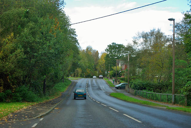
Image: © Robin Webster Taken: 25 Oct 2011
Here called New Road, and built in late Victorian times, although its redesignation as the route of the A283 into Midhurst was much later.
Images are licensed for reuse under creativecommons.org/licenses/by-sa/2.0
Image Location


Leaflet Map data © OpenStreetMap
Latitude
50.981488
Longitude
-0.745505