Hereford Road semis, Monmouth
Introduction
The photograph on this page of Hereford Road semis, Monmouth by Jaggery as part of the Geograph project.
The Geograph project started in 2005 with the aim of publishing, organising and preserving representative images for every square kilometre of Great Britain, Ireland and the Isle of Man.

There are currently over 7.5m images from over 14,400 individuals and you can help contribute to the project by visiting https://www.geograph.org.uk
Hereford Road semis, Monmouth
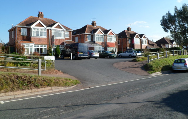
Image: © Jaggery Taken: 22 Oct 2011
Semi-detached houses on the east side of the A466. The elevated pavement briefly descends to road level here to allow vehicles access to the houses.
Images are licensed for reuse under creativecommons.org/licenses/by-sa/2.0
Image Location
Latitude
51.820664
Longitude
-2.71231