Bardney Almshouses
Introduction
The photograph on this page of Bardney Almshouses by Tim Heaton as part of the Geograph project.
The Geograph project started in 2005 with the aim of publishing, organising and preserving representative images for every square kilometre of Great Britain, Ireland and the Isle of Man.

There are currently over 7.5m images from over 14,400 individuals and you can help contribute to the project by visiting https://www.geograph.org.uk
Bardney Almshouses
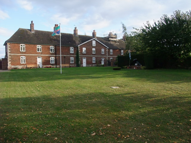
Image: © Tim Heaton Taken: 14 Sep 2011
Built by Peter Hancock in 1712. http://community.lincolnshire.gov.uk/bardneyvillagehistory/section.asp?catId=23274
Images are licensed for reuse under creativecommons.org/licenses/by-sa/2.0
Image Location
Latitude
53.209236
Longitude
-0.323829