Former chapel?
Introduction
The photograph on this page of Former chapel? by Richard Webb as part of the Geograph project.
The Geograph project started in 2005 with the aim of publishing, organising and preserving representative images for every square kilometre of Great Britain, Ireland and the Isle of Man.

There are currently over 7.5m images from over 14,400 individuals and you can help contribute to the project by visiting https://www.geograph.org.uk
Former chapel?
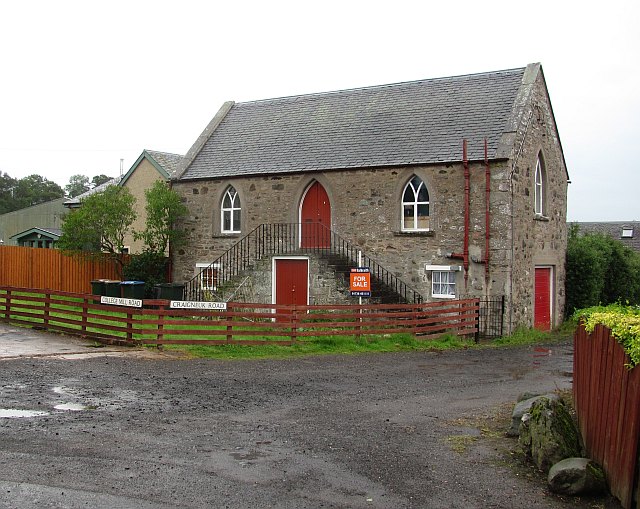
Image: © Richard Webb Taken: 18 Jul 2011
Building for sale in Almondbank. It looks like a chapel or school.
Images are licensed for reuse under creativecommons.org/licenses/by-sa/2.0
Image Location
Latitude
56.415548
Longitude
-3.512556