Snuggs Lane, East Hanney
Introduction
The photograph on this page of Snuggs Lane, East Hanney by Des Blenkinsopp as part of the Geograph project.
The Geograph project started in 2005 with the aim of publishing, organising and preserving representative images for every square kilometre of Great Britain, Ireland and the Isle of Man.

There are currently over 7.5m images from over 14,400 individuals and you can help contribute to the project by visiting https://www.geograph.org.uk
Snuggs Lane, East Hanney
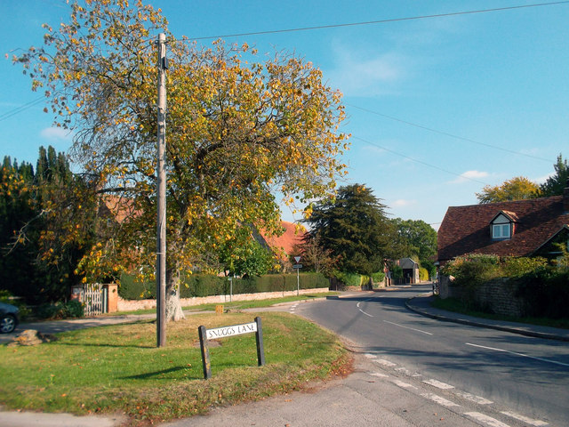
Image: © Des Blenkinsopp Taken: 14 Oct 2011
Snuggs Lane. One of those nice old village type names like you'd never get on some boxville new estate.
Images are licensed for reuse under creativecommons.org/licenses/by-sa/2.0
Image Location
Latitude
51.634351
Longitude
-1.397151