The old Movilla Road, Newtownards
Introduction
The photograph on this page of The old Movilla Road, Newtownards by Albert Bridge as part of the Geograph project.
The Geograph project started in 2005 with the aim of publishing, organising and preserving representative images for every square kilometre of Great Britain, Ireland and the Isle of Man.

There are currently over 7.5m images from over 14,400 individuals and you can help contribute to the project by visiting https://www.geograph.org.uk
The old Movilla Road, Newtownards
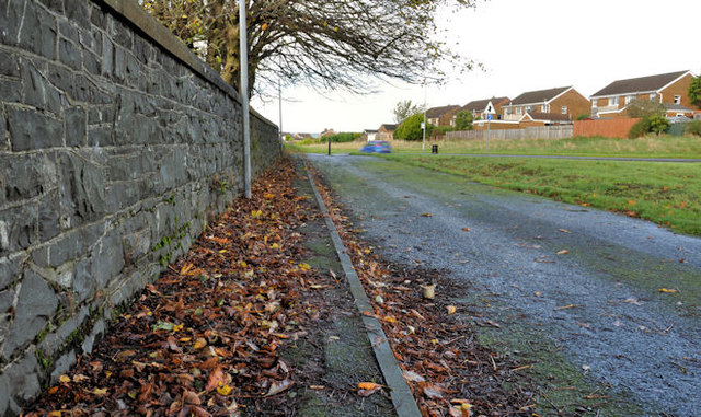
Image: © Albert Bridge Taken: 25 Oct 2011
The old line of the Movilla Road (to Millisle) long-since replaced by the present road (right – below the houses). Still open to pedestrians.
Images are licensed for reuse under creativecommons.org/licenses/by-sa/2.0
Image Location
Latitude
54.596051
Longitude
-5.676973