Mount Nod Way, Eastern Green
Introduction
The photograph on this page of Mount Nod Way, Eastern Green by E Gammie as part of the Geograph project.
The Geograph project started in 2005 with the aim of publishing, organising and preserving representative images for every square kilometre of Great Britain, Ireland and the Isle of Man.

There are currently over 7.5m images from over 14,400 individuals and you can help contribute to the project by visiting https://www.geograph.org.uk
Mount Nod Way, Eastern Green
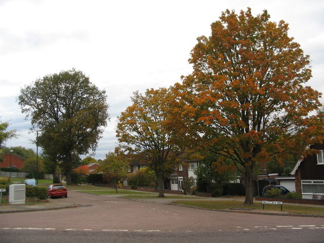
Image: © E Gammie Taken: 25 Oct 2011
At the junction with Nod Rise. Comparison with a 2005 photo of the same location ( http://www.geograph.org.uk/photo/48249 ) shows that the street lights have been replaced and the road markings aren't what they were.
Images are licensed for reuse under creativecommons.org/licenses/by-sa/2.0
Image Location
Latitude
52.409101
Longitude
-1.564233