Abandoned buildings, Brookenby
Introduction
The photograph on this page of Abandoned buildings, Brookenby by Jonathan Thacker as part of the Geograph project.
The Geograph project started in 2005 with the aim of publishing, organising and preserving representative images for every square kilometre of Great Britain, Ireland and the Isle of Man.

There are currently over 7.5m images from over 14,400 individuals and you can help contribute to the project by visiting https://www.geograph.org.uk
Abandoned buildings, Brookenby
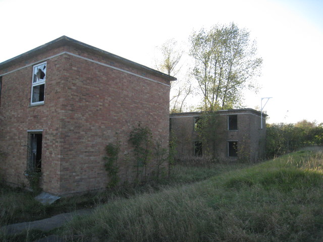
Image: © Jonathan Thacker Taken: 22 Oct 2011
At the former RAF Binbrook the housing has passed to civilian use and many of the hangars are in industrial use but most of the rest has been abandoned.
Images are licensed for reuse under creativecommons.org/licenses/by-sa/2.0
Image Location
Latitude
53.441753
Longitude
-0.191077