A farm track leading into Tarvin
Introduction
The photograph on this page of A farm track leading into Tarvin by David Smith as part of the Geograph project.
The Geograph project started in 2005 with the aim of publishing, organising and preserving representative images for every square kilometre of Great Britain, Ireland and the Isle of Man.

There are currently over 7.5m images from over 14,400 individuals and you can help contribute to the project by visiting https://www.geograph.org.uk
A farm track leading into Tarvin
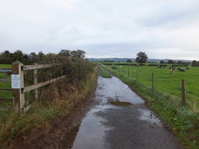
Image: © David Smith Taken: 20 Oct 2011
This track is used for dog-walking and the white sign on the left is a polite and firm request to clean up after dogs to prevent still-births in the cattle. Part of the track is a public bridleway, though the whole of the track to Cross Lanes is used by cyclists and pedestrians.
Images are licensed for reuse under creativecommons.org/licenses/by-sa/2.0
Image Location
Latitude
53.195841
Longitude
-2.761997