The Pinfold at Tarvin
Introduction
The photograph on this page of The Pinfold at Tarvin by David Smith as part of the Geograph project.
The Geograph project started in 2005 with the aim of publishing, organising and preserving representative images for every square kilometre of Great Britain, Ireland and the Isle of Man.

There are currently over 7.5m images from over 14,400 individuals and you can help contribute to the project by visiting https://www.geograph.org.uk
The Pinfold at Tarvin
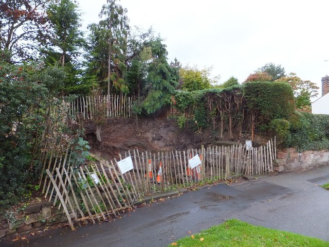
Image: © David Smith Taken: 20 Oct 2011
This is the site of the pinfold, a pound for restraining stray animals. It has been excavated recently. The site was also known as Ducker's Well.
Images are licensed for reuse under creativecommons.org/licenses/by-sa/2.0
Image Location
Latitude
53.196643
Longitude
-2.763059