Former chalk pit, Kenley
Introduction
The photograph on this page of Former chalk pit, Kenley by Derek Harper as part of the Geograph project.
The Geograph project started in 2005 with the aim of publishing, organising and preserving representative images for every square kilometre of Great Britain, Ireland and the Isle of Man.

There are currently over 7.5m images from over 14,400 individuals and you can help contribute to the project by visiting https://www.geograph.org.uk
Former chalk pit, Kenley
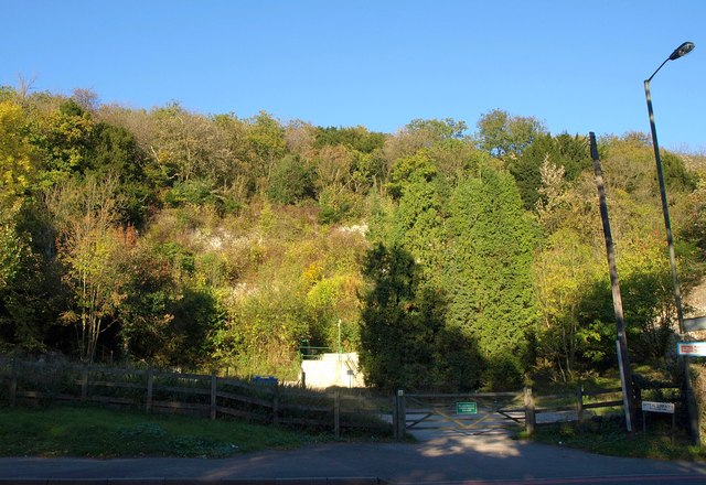
Image: © Derek Harper Taken: 15 Oct 2011
Unsurprising that the steep slope of Riddlesdown should have been quarried for chalk. The map shows something unexpected here, however: an underground factory, possibly in a wartime shelter that existed at Kenley. I've not discovered any more information about it.
Images are licensed for reuse under creativecommons.org/licenses/by-sa/2.0
Image Location
Latitude
51.326487
Longitude
-0.101142