House by the old A420
Introduction
The photograph on this page of House by the old A420 by Chris Holifield as part of the Geograph project.
The Geograph project started in 2005 with the aim of publishing, organising and preserving representative images for every square kilometre of Great Britain, Ireland and the Isle of Man.

There are currently over 7.5m images from over 14,400 individuals and you can help contribute to the project by visiting https://www.geograph.org.uk
House by the old A420
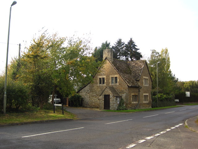
Image: © Chris Holifield Taken: 23 Oct 2011
This section of road used to be the main road from Oxford to Faringdon. It was bypassed by the dual carriageway to the north. Beggar's Lane used to run North from here to the village via Harris's Lane but was cut off by the new road.
Images are licensed for reuse under creativecommons.org/licenses/by-sa/2.0
Image Location
Latitude
51.679121
Longitude
-1.431847