Hockenhull Lane
Introduction
The photograph on this page of Hockenhull Lane by David Smith as part of the Geograph project.
The Geograph project started in 2005 with the aim of publishing, organising and preserving representative images for every square kilometre of Great Britain, Ireland and the Isle of Man.

There are currently over 7.5m images from over 14,400 individuals and you can help contribute to the project by visiting https://www.geograph.org.uk
Hockenhull Lane
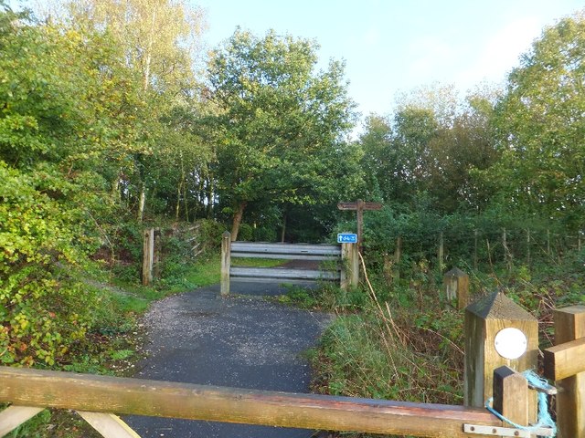
Image: © David Smith Taken: 20 Oct 2011
In the village, the lane is a surfaced road. This stops at the community wood, where it becomes a bridleway, crossing a signed cycleway along the A51, and continues as a surfaced road to the south of the main road. Old maps show the lane without interruption.
Images are licensed for reuse under creativecommons.org/licenses/by-sa/2.0
Image Location
Latitude
53.191384
Longitude
-2.77015