Track near Roberts Farm
Introduction
The photograph on this page of Track near Roberts Farm by Derek Harper as part of the Geograph project.
The Geograph project started in 2005 with the aim of publishing, organising and preserving representative images for every square kilometre of Great Britain, Ireland and the Isle of Man.

There are currently over 7.5m images from over 14,400 individuals and you can help contribute to the project by visiting https://www.geograph.org.uk
Track near Roberts Farm
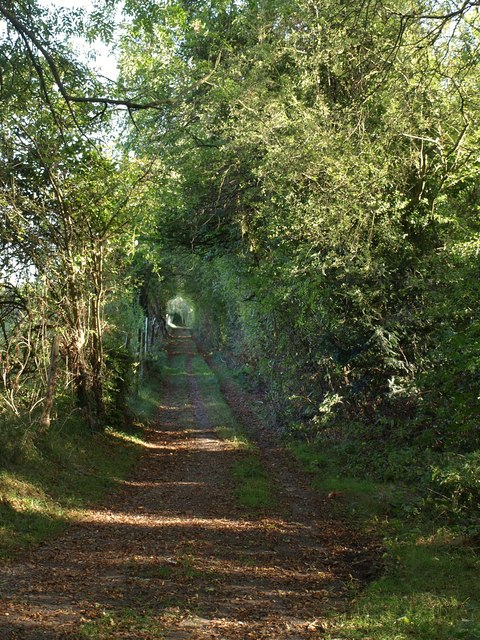
Image: © Derek Harper Taken: 15 Oct 2011
Another view, like those in http://www.geograph.org.uk/search.php?i=25930159 , from the junction shown in Image; this is the track to the left, carrying a footpath whose mapped route is not very easy to follow.
Images are licensed for reuse under creativecommons.org/licenses/by-sa/2.0
Image Location
Latitude
51.305844
Longitude
-0.109167