Small farm building, Buckholt
Introduction
The photograph on this page of Small farm building, Buckholt by Jaggery as part of the Geograph project.
The Geograph project started in 2005 with the aim of publishing, organising and preserving representative images for every square kilometre of Great Britain, Ireland and the Isle of Man.

There are currently over 7.5m images from over 14,400 individuals and you can help contribute to the project by visiting https://www.geograph.org.uk
Small farm building, Buckholt
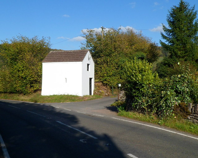
Image: © Jaggery Taken: 22 Oct 2011
Antlers are embedded in the roof triangle on the right side of the building, located on the edge of the A466 (Hereford Road or Old Hereford Road).
Images are licensed for reuse under creativecommons.org/licenses/by-sa/2.0
Image Location
Latitude
51.836846
Longitude
-2.712565