Path To St Mary's
Introduction
The photograph on this page of Path To St Mary's by Bill Nicholls as part of the Geograph project.
The Geograph project started in 2005 with the aim of publishing, organising and preserving representative images for every square kilometre of Great Britain, Ireland and the Isle of Man.

There are currently over 7.5m images from over 14,400 individuals and you can help contribute to the project by visiting https://www.geograph.org.uk
Path To St Mary's
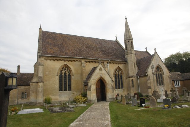
Image: © Bill Nicholls Taken: 16 Oct 2011
Footpath leading to St Mary's Catholic Church in East Hendred, as there was a service going on I did not visit till it had finished. The inside was typical of the era it was built.
Images are licensed for reuse under creativecommons.org/licenses/by-sa/2.0
Image Location
Latitude
51.593652
Longitude
-1.336337