Junction on Coulsdon Common
Introduction
The photograph on this page of Junction on Coulsdon Common by Derek Harper as part of the Geograph project.
The Geograph project started in 2005 with the aim of publishing, organising and preserving representative images for every square kilometre of Great Britain, Ireland and the Isle of Man.

There are currently over 7.5m images from over 14,400 individuals and you can help contribute to the project by visiting https://www.geograph.org.uk
Junction on Coulsdon Common
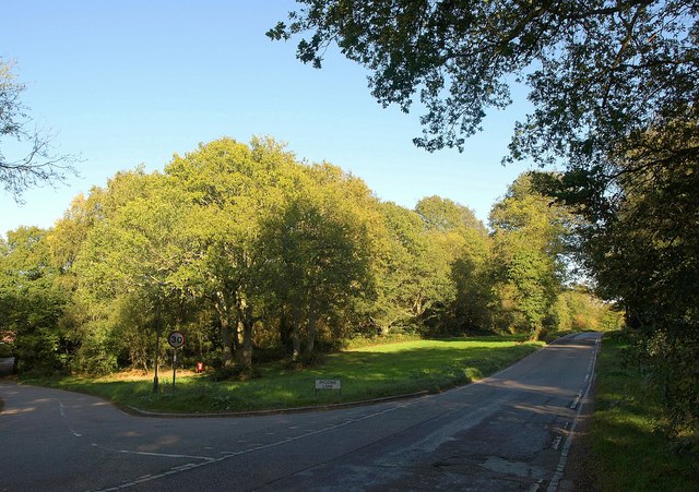
Image: © Derek Harper Taken: 15 Oct 2011
The main road is Stites Hill Road; the left turn is Rydon's Lane, followed by the London Loop. See Image for another view of the same junction.
Images are licensed for reuse under creativecommons.org/licenses/by-sa/2.0
Image Location
Latitude
51.298064
Longitude
-0.106331