Sandpits Road
Introduction
The photograph on this page of Sandpits Road by Ian Capper as part of the Geograph project.
The Geograph project started in 2005 with the aim of publishing, organising and preserving representative images for every square kilometre of Great Britain, Ireland and the Isle of Man.

There are currently over 7.5m images from over 14,400 individuals and you can help contribute to the project by visiting https://www.geograph.org.uk
Sandpits Road
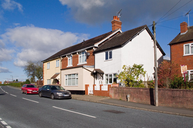
Image: © Ian Capper Taken: 16 Oct 2011
Early 20th century maps call this road Sandpits Lane. These cottages stand out as different from the 1960s council house development of this part of Ludlow.
Images are licensed for reuse under creativecommons.org/licenses/by-sa/2.0
Image Location
Latitude
52.371542
Longitude
-2.70497