Affordable housing
Introduction
The photograph on this page of Affordable housing by Ian Capper as part of the Geograph project.
The Geograph project started in 2005 with the aim of publishing, organising and preserving representative images for every square kilometre of Great Britain, Ireland and the Isle of Man.

There are currently over 7.5m images from over 14,400 individuals and you can help contribute to the project by visiting https://www.geograph.org.uk
Affordable housing
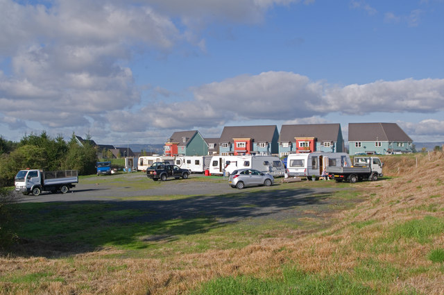
Image: © Ian Capper Taken: 16 Oct 2011
In the background is Rocks Green Crescent, part of a 91 unit affordable housing development built in 2009 (see Image). In the foreground is even more affordable housing.
Images are licensed for reuse under creativecommons.org/licenses/by-sa/2.0
Image Location


Leaflet Map data © OpenStreetMap
Latitude
52.377752
Longitude
-2.702425