Oakley Green Road
Introduction
The photograph on this page of Oakley Green Road by Alan Hunt as part of the Geograph project.
The Geograph project started in 2005 with the aim of publishing, organising and preserving representative images for every square kilometre of Great Britain, Ireland and the Isle of Man.

There are currently over 7.5m images from over 14,400 individuals and you can help contribute to the project by visiting https://www.geograph.org.uk
Oakley Green Road
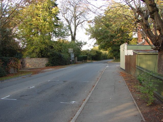
Image: © Alan Hunt Taken: 23 Oct 2011
A view along Oakley Green Road (the B3024) with the junction of the Dedworth Road on the right. The Greene Oak public house is on the right as you approach the junction.
Images are licensed for reuse under creativecommons.org/licenses/by-sa/2.0
Image Location
Latitude
51.479927
Longitude
-0.663476