Field near Dedworth
Introduction
The photograph on this page of Field near Dedworth by Alan Hunt as part of the Geograph project.
The Geograph project started in 2005 with the aim of publishing, organising and preserving representative images for every square kilometre of Great Britain, Ireland and the Isle of Man.

There are currently over 7.5m images from over 14,400 individuals and you can help contribute to the project by visiting https://www.geograph.org.uk
Field near Dedworth
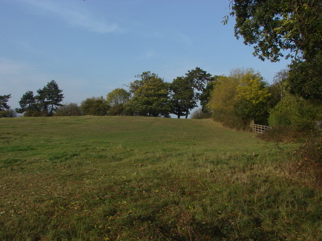
Image: © Alan Hunt Taken: 23 Oct 2011
The footpath from Dedworth to St Leonard's Hill marks the boundary between town and country. The housing estates of Dedworth are over the trees to the right.
Images are licensed for reuse under creativecommons.org/licenses/by-sa/2.0
Image Location
Latitude
51.471372
Longitude
-0.654511