Cineworld and St Andrews House
Introduction
The photograph on this page of Cineworld and St Andrews House by Thomas Nugent as part of the Geograph project.
The Geograph project started in 2005 with the aim of publishing, organising and preserving representative images for every square kilometre of Great Britain, Ireland and the Isle of Man.

There are currently over 7.5m images from over 14,400 individuals and you can help contribute to the project by visiting https://www.geograph.org.uk
Cineworld and St Andrews House
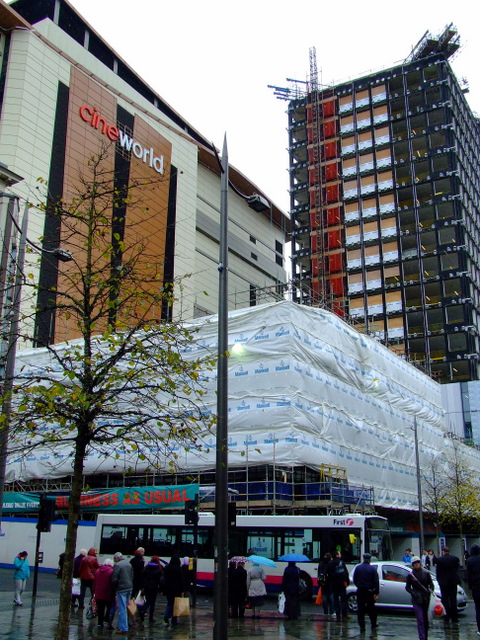
Image: © Thomas Nugent Taken: 20 Oct 2011
St Andrews House is a 1960s office block which is being converted to a Premier Inn hotel. Viewed cross Renfield Street from Sauchiehall Street.
Images are licensed for reuse under creativecommons.org/licenses/by-sa/2.0
Image Location
Latitude
55.864507
Longitude
-4.254787