Stanton Road
Introduction
The photograph on this page of Stanton Road by Ian Capper as part of the Geograph project.
The Geograph project started in 2005 with the aim of publishing, organising and preserving representative images for every square kilometre of Great Britain, Ireland and the Isle of Man.

There are currently over 7.5m images from over 14,400 individuals and you can help contribute to the project by visiting https://www.geograph.org.uk
Stanton Road
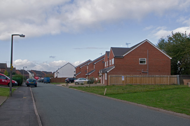
Image: © Ian Capper Taken: 16 Oct 2011
Much of Stanton Road dates from the 1980s, as infill inside the 1979 built Ludlow bypass. However some gaps remained, and the houses in this photo are only recently built, with a further plot in the foreground being marked for development.
Images are licensed for reuse under creativecommons.org/licenses/by-sa/2.0
Image Location
Latitude
52.378871
Longitude
-2.712094