Path into Grangewood Park, South Norwood
Introduction
The photograph on this page of Path into Grangewood Park, South Norwood by Marathon as part of the Geograph project.
The Geograph project started in 2005 with the aim of publishing, organising and preserving representative images for every square kilometre of Great Britain, Ireland and the Isle of Man.

There are currently over 7.5m images from over 14,400 individuals and you can help contribute to the project by visiting https://www.geograph.org.uk
Path into Grangewood Park, South Norwood
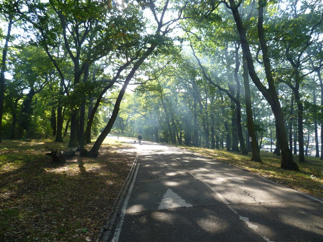
Image: © Marathon Taken: 21 Oct 2011
Grangewood was originally part of the Manor of Whitehorse and the wood known as Whitehorse Wood was part of the Great North Wood. In 1800 the wood was completely surrounded by fields but by the mid 19th century the east and west sides of Whitehorse Wood were cleared for development, whilst the remaining 30 acres to the east of Grange Road were developed as a private estate. This now forms Grangewood Park. It had a mansion at the centre with extensive gardens to the south. Croydon Corporation bought Grangewood Park in 1900. The mansion and grounds were badly damaged in the Second World War and the house was demolished in 1960. The formal garden at the centre of the park marks the site. When the Council acquired the park they built a bandstand but this was also demolished after the Second World War. On the day I was walking into the park, a nearby bonfire was adding its smoke to the autumn sunlight streaming through the trees.
Images are licensed for reuse under creativecommons.org/licenses/by-sa/2.0
Image Location
Latitude
51.404995
Longitude
-0.090127