Pillbox by the Godalming Navigation
Introduction
The photograph on this page of Pillbox by the Godalming Navigation by Robin Webster as part of the Geograph project.
The Geograph project started in 2005 with the aim of publishing, organising and preserving representative images for every square kilometre of Great Britain, Ireland and the Isle of Man.

There are currently over 7.5m images from over 14,400 individuals and you can help contribute to the project by visiting https://www.geograph.org.uk
Pillbox by the Godalming Navigation
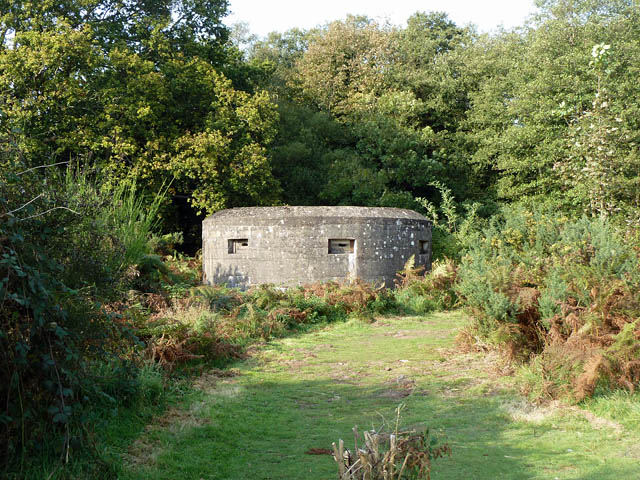
Image: © Robin Webster Taken: 23 Oct 2011
A few steps off the towpath on National Trust land, the NT have given this structure an explanatory sign, just behind the camera.
Images are licensed for reuse under creativecommons.org/licenses/by-sa/2.0
Image Location
Latitude
51.199878
Longitude
-0.584428