Sparable Lane, Gilstead
Introduction
The photograph on this page of Sparable Lane, Gilstead by Humphrey Bolton as part of the Geograph project.
The Geograph project started in 2005 with the aim of publishing, organising and preserving representative images for every square kilometre of Great Britain, Ireland and the Isle of Man.

There are currently over 7.5m images from over 14,400 individuals and you can help contribute to the project by visiting https://www.geograph.org.uk
Sparable Lane, Gilstead
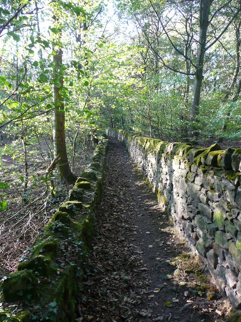
Image: © Humphrey Bolton Taken: 22 Oct 2011
Rather narrow to be called a lane, but it might have replaced an old lane through what became the Milner Field estate.
Images are licensed for reuse under creativecommons.org/licenses/by-sa/2.0
Image Location


Leaflet Map data © OpenStreetMap
Latitude
53.846461
Longitude
-1.810428