Farmland east of Whilton
Introduction
The photograph on this page of Farmland east of Whilton by Stephen McKay as part of the Geograph project.
The Geograph project started in 2005 with the aim of publishing, organising and preserving representative images for every square kilometre of Great Britain, Ireland and the Isle of Man.

There are currently over 7.5m images from over 14,400 individuals and you can help contribute to the project by visiting https://www.geograph.org.uk
Farmland east of Whilton
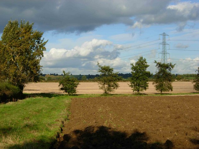
Image: © Stephen McKay Taken: 24 Oct 2006
These fields lie between the Whilton - Great Brington road and the Rugby - Northampton railway. Crackling from the power lines was audible even at this distance.
Images are licensed for reuse under creativecommons.org/licenses/by-sa/2.0
Image Location
Latitude
52.282079
Longitude
-1.057409