Old vicarage, Leyland
Introduction
The photograph on this page of Old vicarage, Leyland by Ann Cook as part of the Geograph project.
The Geograph project started in 2005 with the aim of publishing, organising and preserving representative images for every square kilometre of Great Britain, Ireland and the Isle of Man.

There are currently over 7.5m images from over 14,400 individuals and you can help contribute to the project by visiting https://www.geograph.org.uk
Old vicarage, Leyland
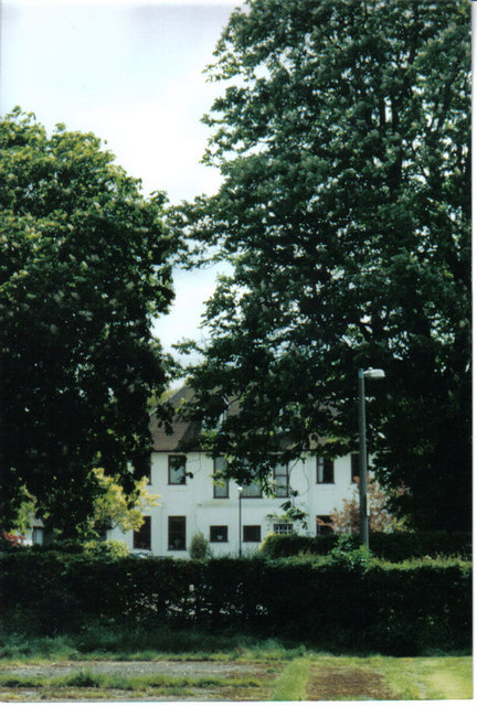
Image: © Ann Cook Taken: Unknown
This was the vicarage for St. Andrew's Church Leyland. In the late 70's it became the centre of a housing development for the over 60's.
Images are licensed for reuse under creativecommons.org/licenses/by-sa/2.0
Image Location


Leaflet Map data © OpenStreetMap
Latitude
53.687024
Longitude
-2.696492